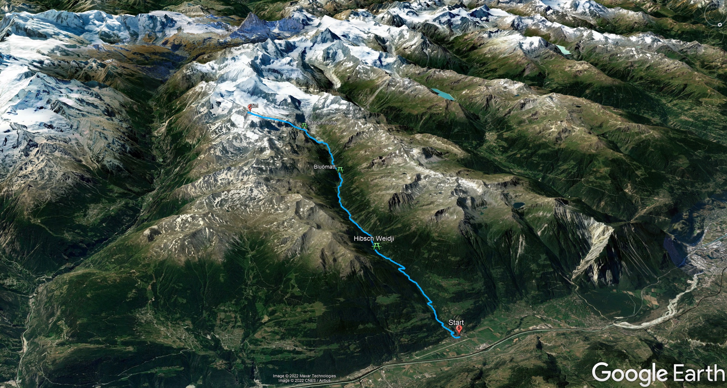
Race profile – General
Turtmann - Barrhorn
Key data:
Turtmann - Barrhorn
Turtmann - Bluömatt
Bluömatt - Barrhorn
You are moving on a unique route, embedded in the wild-romantic Turtmann valley with the finish on the highest hiking mountain in Europe – the Barrhorn!
The classics:
Alpine Walking:
You start in the morning at 04:00 and take the route leisurely, taking into account the cut-off times. Enjoy the peace and quiet at the start and look forward to the three refreshment posts and the magnificent view.
Run:
At 06:00 we start! Set your goal and go. 3000hm from the valley to the summit: UNIQUE and UNFORGETTABLE!
But don’t forget to enjoy the view;-)
New in the 2024 edition:
Blüömatt – Barrhorn:
You want to approach the route comfortably, then there is the possibility of Blüömatt this unique atmosphere genissen.
You expect 11km and a little more than 1800hm to the summit!

